Skip to content
Lokimaps
Topo maps - Finland is now Lokimaps

The outdoors,
in remarkable detail.

Lokimaps puts official national topographic maps in your pocket — crisp at every scale and fully usable offline, long after the last cell tower fades. Finland, Sweden and Norway, all in one app.

Inside Lokimaps
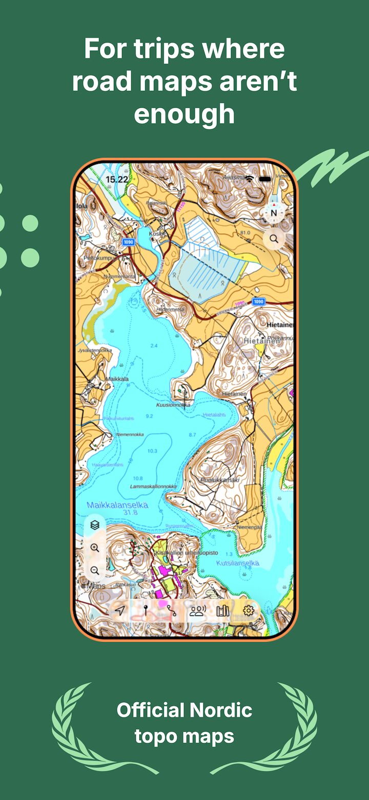
Lokimaps topographic map shown on an iPhone for outdoor navigation
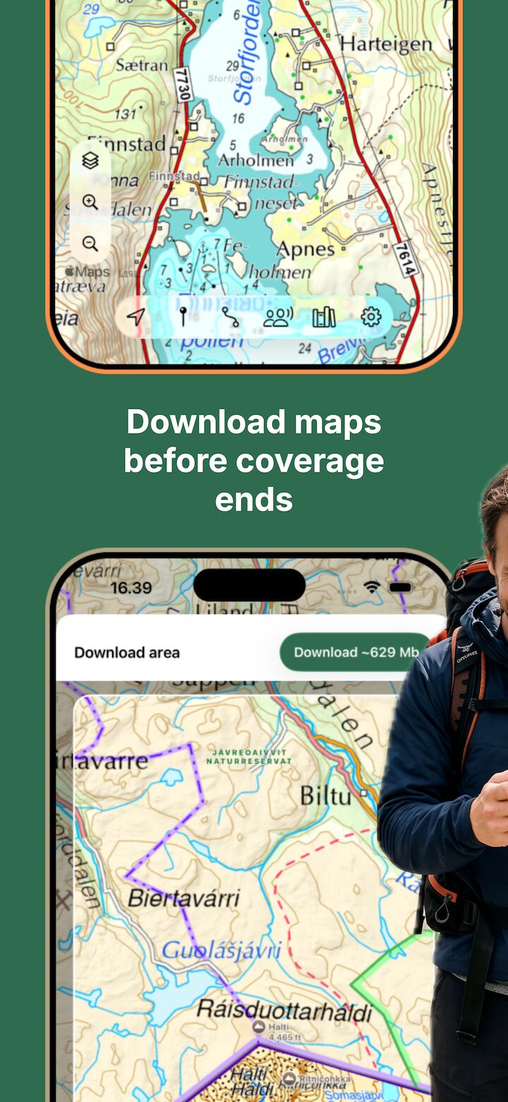
Lokimaps downloading an offline map area across the Finnish–Norwegian border
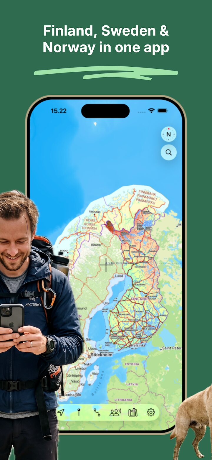
Lokimaps showing Finnish, Swedish and Norwegian topographic maps together
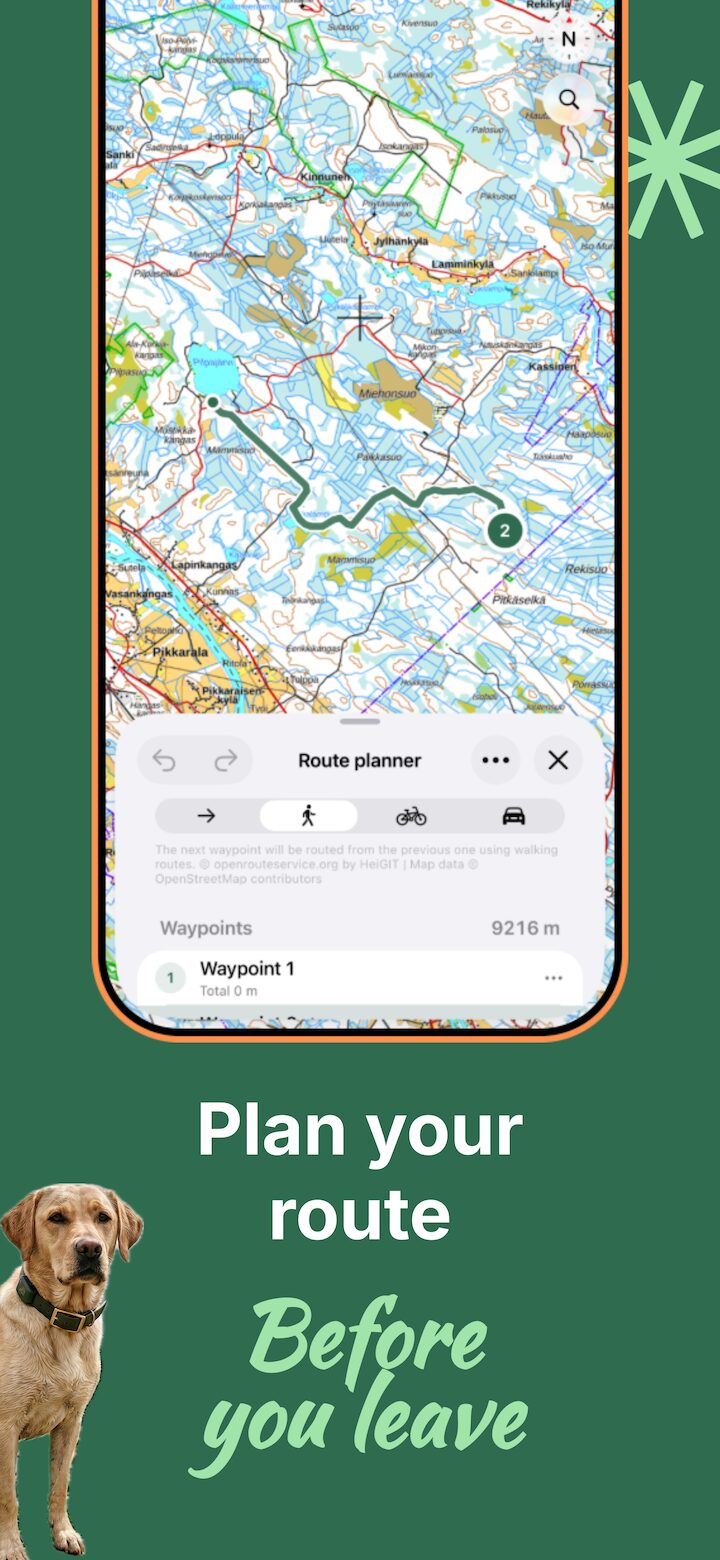
Lokimaps route planner with a walking route and waypoints on a topographic map
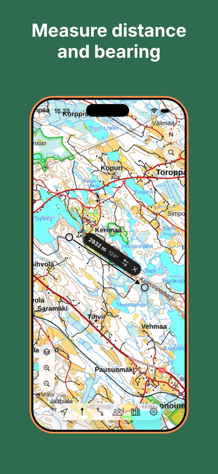
Lokimaps measure tool showing distance and bearing between two points
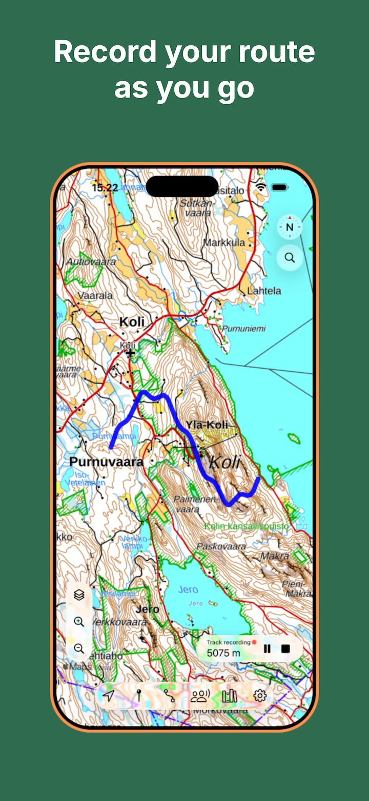
Lokimaps recording a hiking track on a topographic map of Koli
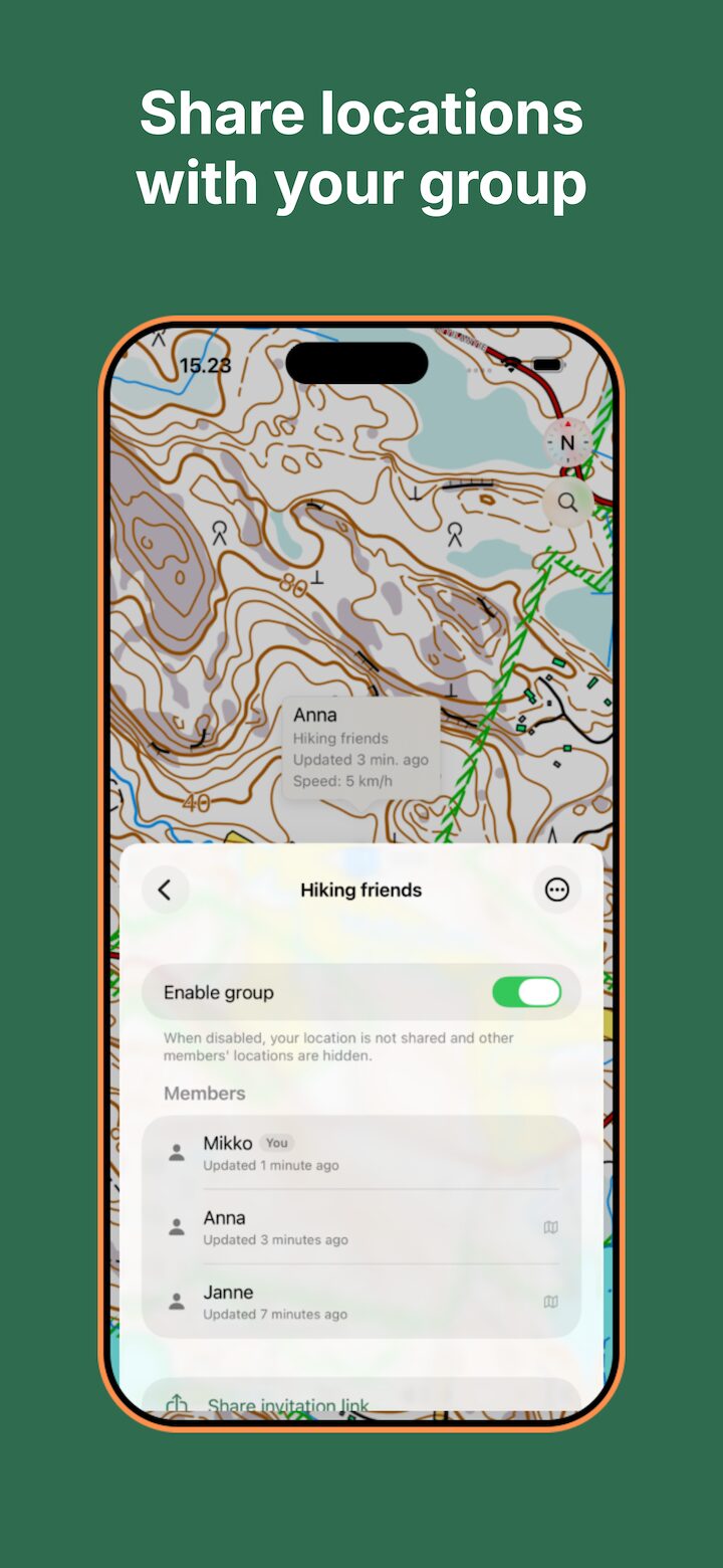
Lokimaps location sharing group screen for hiking friends
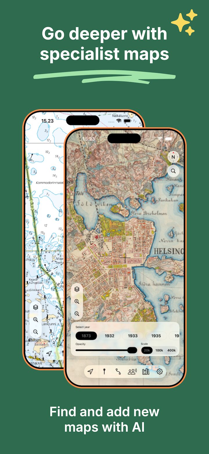
Lokimaps nautical chart and historic Helsinki map shown on two iPhones

Screenshot 1 of 8: Outdoor ready — For trips where road maps aren’t enough

  • Works offline
  • Record tracks & GPX
  • Share your location
  • Coordinates, any format

Loved by adventurers

In good company across the Nordics

120 000Installs
4.5App Store rating4.5 out of 5 stars on the App Store

Android waitlist

Lokimaps for Android is coming

Lokimaps is currently available for iPhone and iPad. Join the Android waitlist and we will let you know when early access is ready.

We will email you a confirmation link before adding you.

Always improving

Regular updates, all year round

Lokimaps keeps getting better — new maps, sharper tools and steady fixes arrive throughout the year. Take a look at what’s landed lately.

Read the release notes